A storm arriving Wednesday, Oct. 21, is expected to bring rain and possible thunderstorms to Santa Monica, while nearby Malibu and the Santa Monica Mountains face a flood watch. Dangerous surf and rip currents also threaten local beaches.
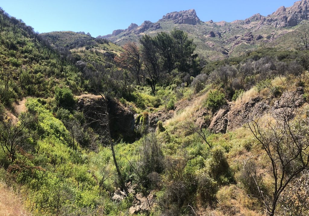
The National Weather Service (NWS) issued a flood watch for the Malibu coast and the eastern and western Santa Monica Mountains, effective Wednesday afternoon through Thursday afternoon, according to the Daily News. The watch covers Malibu, Malibu Bowl, Pacific Palisades and Topanga.
The Santa Monica Mountains face the highest flooding risk in the region, according to a weather service spokesperson quoted by the Los Angeles Times.
"Some of the more vulnerable areas include first-year burn scars," the spokesperson said. The Palisades and Altadena areas are among those recently scarred by wildfires, the Times reported.
Rainfall totals across much of L.A. County are expected to average about 1.5 inches, forecasters said. Higher terrain and areas hit by thunderstorms could see 2 to 3 inches. The NWS forecast 1.31 inches at LAX, the closest gauge to Santa Monica.
The NWS Los Angeles office estimated a 20% to 30% chance of thunderstorms in L.A. and Ventura counties, the Times reported. Most areas will probably experience only minor impacts, the office said.
NWS meteorologist Bryan Lewis told the San Francisco Chronicle that rain totals were "trending upward" and that "late Wednesday morning through late Thursday morning will probably be the peak of it."
The storm also carries a small tornado risk. Forecasters said there is a 5% or less chance of a weak tornado as the upper low moves inland late Wednesday night into Thursday morning, MyNewsLA reported. The NWS placed the coast from Monterey to Orange County at a marginal (level 1 of 5) risk of severe weather Wednesday, with wind gusts up to 60 mph possible.
Along the coast, surf of 3 to 6 feet is expected through Thursday night on south- and southwest-facing beaches. Tides could range from 5.5 to 6.2 feet. A beach hazards statement remains in effect through late Thursday night for portions of the L.A. County coastline, warning of dangerous rip currents, minor beach erosion and tidal overflow in low-lying areas.
The NWS advised swimmers to "remain out of the water to avoid hazardous swimming conditions." Malibu officials also urged beachgoers to stay off rocks and jetties.
Malibu city spokesperson Matt Meyerhoff told the Daily News that officials are prepared, particularly in areas burned by the Palisades and Franklin fires. The city is also preparing for flooded or debris-covered roads, possible power outages and coastal erosion.
Lewis said he thought it was "fairly safe to say that we could expect at least some minor debris flow in the area."
Dry weather returns Friday.
The NWS said another round of offshore Santa Ana winds would follow over the weekend, weaker than the previous week's event, with gusts of 30 to 50 mph possible in the mountains.
Sandbags are available to Malibu residents at the Malibu Equestrian Center. Unfilled sandbags are available at L.A. County fire stations, and both sand and sandbags are available at the main entrance to Zuma Beach.