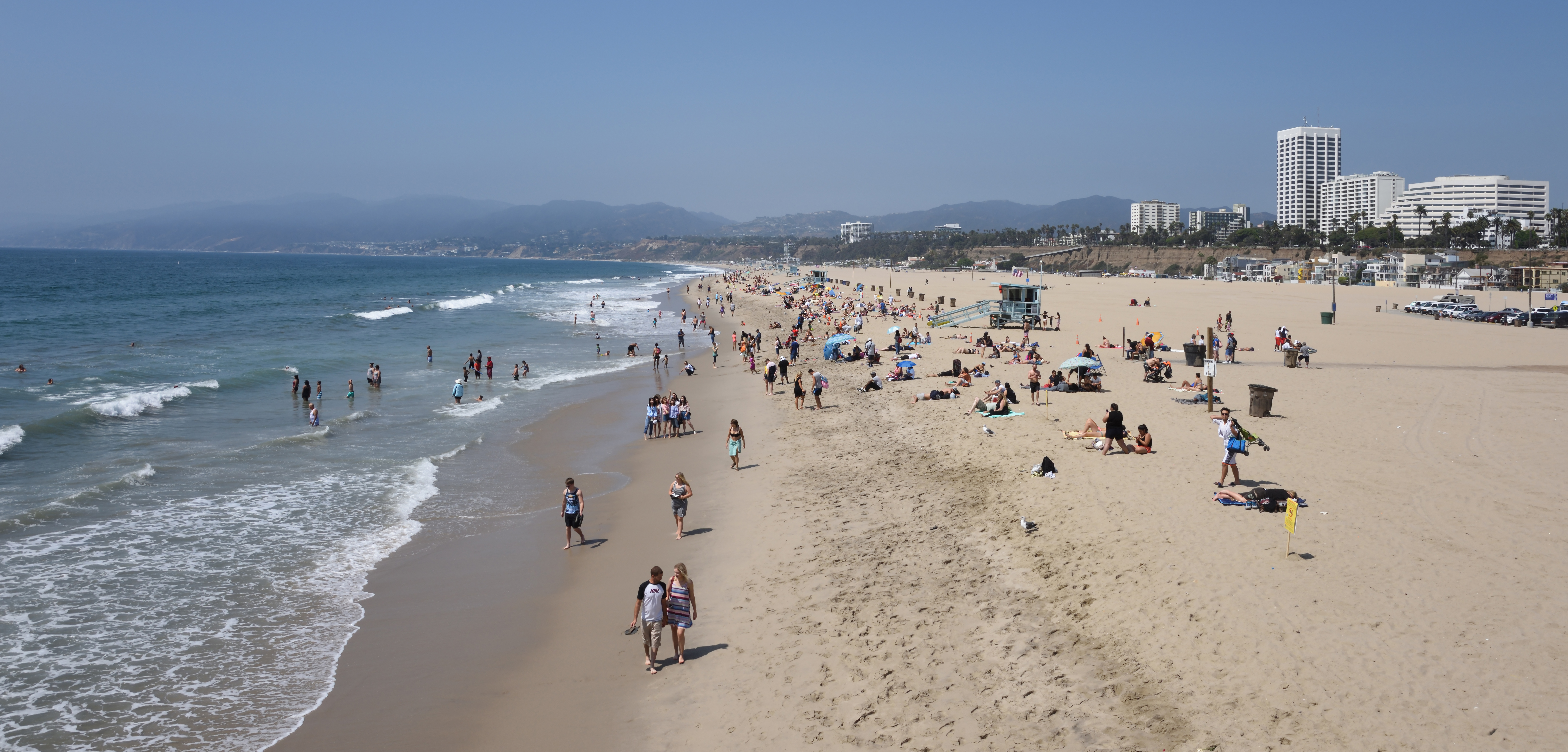
A slow-moving wall of warm water is heading toward Santa Monica's shoreline. Scientists say it could raise local sea levels by 6 to 12 inches starting in early October.
The phenomenon, called a coastally trapped Kelvin wave, was near Puerto Vallarta on Mexico's Pacific coast as of Tuesday, Sept. 15, traveling north at about 6 mph, according to Patch. Dillon Amaya, an assistant professor of marine, earth and atmospheric sciences at North Carolina State University, has been tracking the wave's path and estimates it will reach the Los Angeles area in early October. Exact timing remains uncertain.
The wave is not a visible, crashing breaker. It is a broad bulge in the ocean's surface that raises the baseline height of coastal water, roughly 12 to 19 miles from shore, by inches for weeks or months. Normal surf and swells continue rolling on top of that elevated platform.
That distinction matters. Amaya told Patch that roughly every four inches of sea-level rise can double the flooding risk for low-lying coastal areas. "Six inches may not sound like a lot, but it can absolutely be a big deal," he said.
Santa Monica residents have already seen what elevated seas can do. Storm surf from Hurricane Marie, amplified by ocean levels already 6 to 12 inches above normal, eroded the beach south of the Santa Monica Pier over Labor Day weekend. The damage forced the city to cancel the inaugural Ocean Way Festival, which had been scheduled for Sept. 26-27 and was expected to draw up to 45,000 people per day. Surf stripped enough sand to require moving the safe shoreline setback 96 feet inland, and runoff from the Pico-Kenter Storm Drain outfall cut through the southern end of the site, pushing the festival's southern boundary about 500 feet north, according to Variety.
Climate scientist Daniel Swain of the University of California Agriculture and Natural Resources told KTLA on Friday, Sept. 11 that the Hurricane Marie damage was compounded by El Niño. Sea levels were already elevated before the storm hit, he said, due to a marine heat wave and thermal expansion of ocean water.
The Kelvin wave originated in the equatorial Pacific, where trade winds weakened and sent warm water eastward. When that pulse hit South America's coast, it split and sent a branch northward. Swain told Yahoo News that one to two additional Kelvin waves are expected through fall and winter. Amaya told Patch the pattern would repeat, saying more waves will almost certainly follow and that this is not a one-off event.
The timing raises a compounding concern. After a Kelvin wave raises background sea level, it can take three to six months for the ocean to settle back down, according to Amaya. That means elevated water from an early-October arrival could persist into winter, when California's king tides are due in late November, December and mid-January. The National Oceanic and Atmospheric Administration (NOAA) expects El Niño conditions to peak between November and February.
NOAA declared El Niño conditions in June. This year's event has a greater than 90% probability of becoming very strong and a 70% chance of being the strongest on record since 1950, according to the Santa Monica Mirror.
Water temperatures at Santa Monica Pier hit 76.8°F on July 25, the highest July reading ever recorded at the landmark, according to weather tracker Colin McCarthy of U.S. Stormwatch.
The warmer water is also reshaping marine life. The Santa Monica Bay Audubon Society reported that dead seabirds, including gulls and cormorants, have been washing up on local beaches, possibly because warm water is suppressing the cold-water prey they depend on. A whale shark, a species normally found in tropical waters, was spotted off Malibu in the week before Sept. 15, according to Patch.
Amaya told CBS Los Angeles his priority is making sure the public knows the wave is coming and can prepare. The wave is trackable, he said, and scientists are monitoring its northward path in real time.