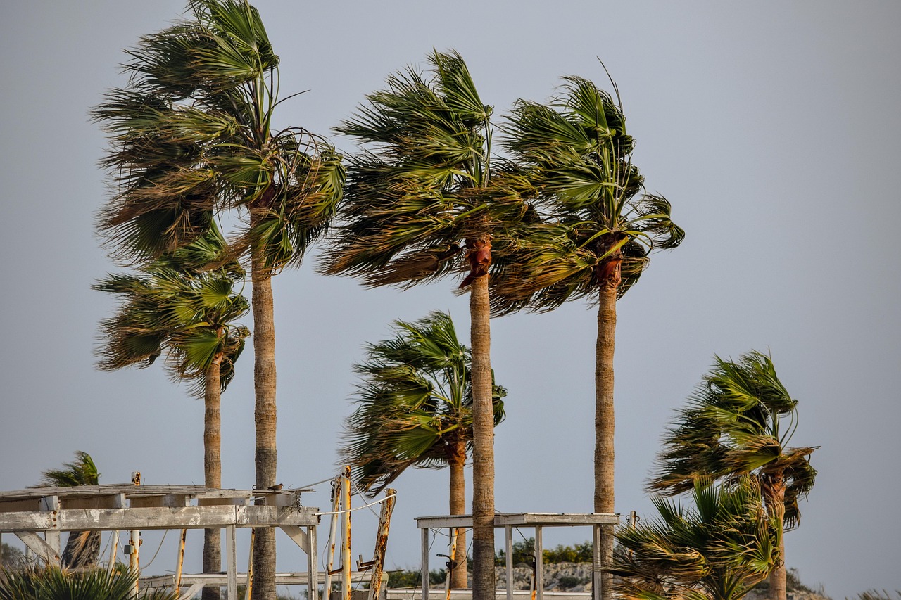
Tropical Storm Marie is tracking toward Southern California and could bring dangerous surf, rip currents and possible coastal flooding to Santa Monica's shoreline over Labor Day weekend.
The National Weather Service said Tuesday, Sept. 1, that a hurricane is likely to develop by Wednesday or Thursday from a cluster of clouds off the Baja California coast. The storm will likely move northwest through Saturday toward Southern California, KTLA reported.
The NWS said the most likely outcome is the storm veers west, away from the coast. But if it stays on a northwesterly track, high surf is the likeliest impact. The NWS said south-facing beaches should expect high surf advisories, especially Sunday into Monday night, with strong rip currents and an increasing chance of minor coastal flooding around evening high tides.
Santa Monica's southwest-facing beach could see similar conditions, though the NWS has not named it specifically in the advisory.
"There's increasing confidence in moderate-to-large surf from the south swell starting as early as Friday," Kristan Lund, a meteorologist with the NWS office in Oxnard, told the Los Angeles Times. "We could have coastal flooding because we'll have above-normal tides during the same time."
Swells from the storm are forecast to arrive Saturday and Sunday, coinciding with some of the highest high tides of the month. The NWS cited Catalina Island, the coastline from Long Beach to Cabrillo Beach, Malibu and Point Mugu as areas especially susceptible to flooding.
Rain is less certain. The NWS gave only a 5% to 10% chance of the most extreme model outcome, which showed two or more inches of rainfall. The more likely scenario is light to moderate rain between Saturday and Monday, with less than an inch in most areas.
The storm is expected to weaken before reaching the region. NWS San Diego meteorologist Sebastian Westerink said Tuesday, Sept. 1, that the system will very likely drop below hurricane and even tropical storm status by the time it arrives. UC climate scientist Daniel Swain described the more realistic medium-impact scenario as a decaying tropical storm bringing breezy conditions, moisture, showers and thunderstorms, along with dangerous coastal waves.
The NWS also noted a low but nonzero chance of strong northeast winds that could knock down trees and raise wildfire concerns.
The NWS had already issued a Beach Hazards Statement on Aug. 31 for Ventura and Los Angeles county beaches, warning of rip currents and breaking waves up to six feet from swells generated by Hurricane Karina, a separate Category 4 storm in the Pacific, KTLA reported. Marie's approach adds a second source of dangerous surf on top of those existing conditions.
LA County lifeguards made nearly 2,000 ocean rescues over a single weekend in late July when elevated surf and rip currents hit local beaches during a heat wave. No fatalities were reported.
The NWS cautioned that forecast models still differ significantly on the storm's path after Saturday. Residents heading to the beach should check the latest NWS advisories and follow lifeguard instructions through Monday night.