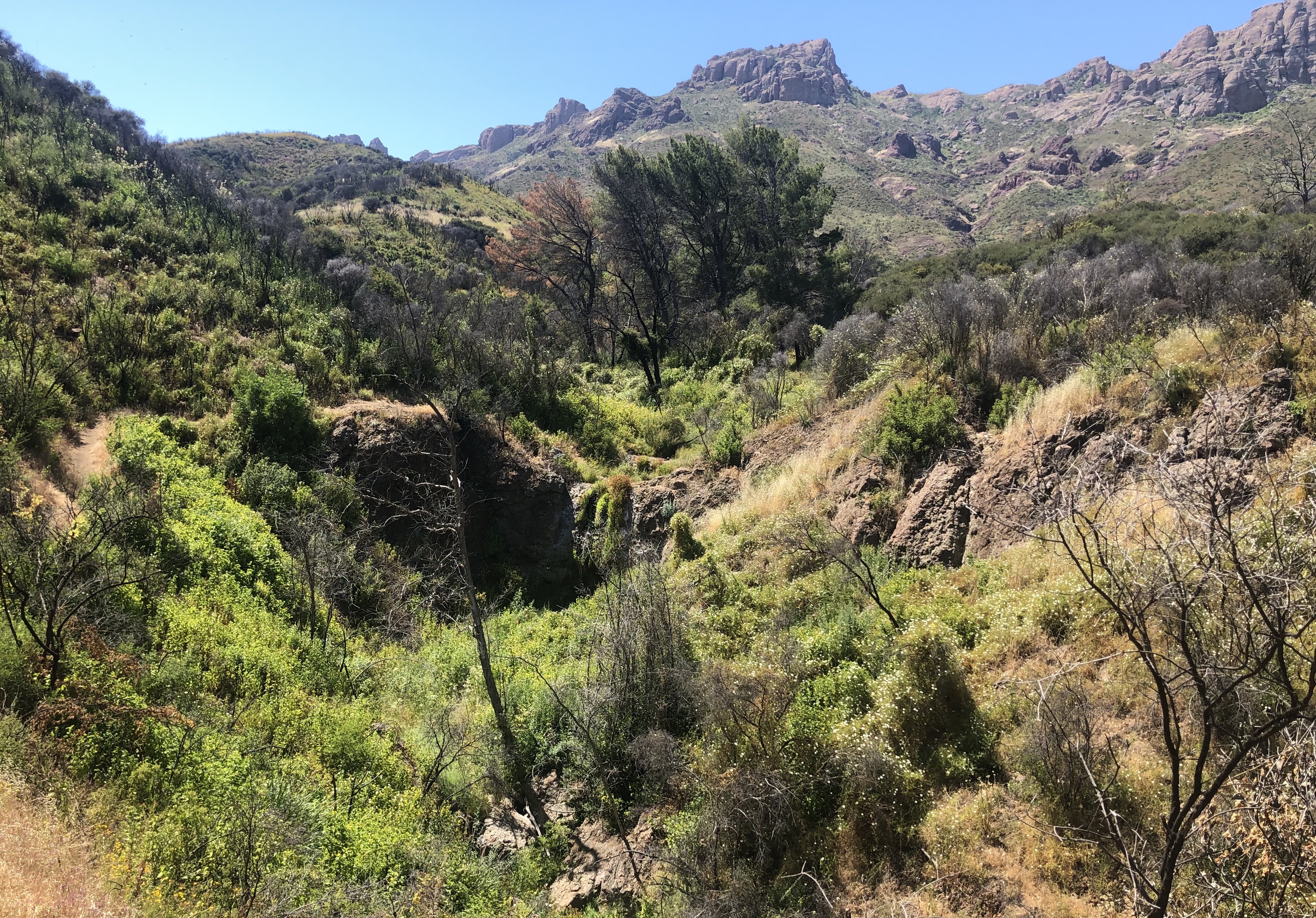
Six state parks near Santa Monica shut down Thursday, Oct. 15. Four public land agencies activated a coordinated closure across the Santa Monica Mountains under a Red Flag Warning.
Will Rogers State Historic Park, Topanga State Park, Malibu Creek State Park, Leo Carrillo State Park, Point Mugu State Park and Santa Susana Pass State Historic Park are all closed, according to the Santa Monica Mirror. Dozens of additional parks run by the Mountains Recreation and Conservation Authority (MRCA) and the National Park Service are also shut.
The closures affect hiking trails, backcountry areas, visitor centers, parking lots, guided programs, school field trips and permitted gatherings. Some public roads, campgrounds and beach access points may stay open depending on conditions at each site.
California State Parks, the National Park Service, the Santa Monica Mountains Conservancy and the MRCA announced the joint closure protocol in March 2026, the Los Angeles Times reported. The framework grew out of discussions following the January 2025 Palisades and Eaton fires, Dash Stolarz, a spokesperson for the MRCA, told the Times.
"You just try and control all the variables you can control," Stolarz said.
Not every closed boundary will have a physical gate or posted sign. California State Parks urged visitors to check the agency's Angeles District website before heading out.
Parking ban takes effect
The Los Angeles Fire Department activated citywide Red Flag parking restrictions at 6 a.m. Thursday for at least 48 hours, according to an LAFD alert. Vehicles parked illegally on posted "Red Flag Days" routes in Very High Fire Hazard Severity Zones (VHFHSZ) face immediate towing.
The restrictions keep narrow streets clear so fire engines can reach brush fires and residents can evacuate. The LAFD said it is pre-deploying additional resources in high-risk areas including the Santa Monica Mountains, Hollywood Hills and West Los Angeles, ABC7 reported.
As we reported Oct. 14, the National Weather Service issued the Red Flag Warning for Los Angeles and Ventura counties. The Los Angeles Times reported sustained winds of 20 to 40 mph with gusts of 40 to 60 mph, while ABC7 cited gusts as high as 50 to 70 mph. Humidity could drop as low as 8%, with temperatures between 85 and 95 degrees.
Areas west of the 405 Freeway face the highest wildfire risk because they received almost no rain from Tropical Storm Rachel, UC Agriculture and Natural Resources climate scientist Daniel Swain told the Times. Santa Monica lies west of the 405.
Access to Topanga Canyon Boulevard will be restricted to residents only between Mulholland Drive and Pacific Coast Highway during the Red Flag event, with the Los Angeles County Sheriff's Department staffing checkpoints, the Times reported.
Residents in VHFHSZ areas should look for "Red Flag Days" no-parking signs and move vehicles before enforcement begins. Updated parking restriction maps and status are available on the LAFD website.