A storm carrying the season's first atmospheric river is set to drench Santa Monica starting late Wednesday, Nov. 18, with the heaviest rain expected Thursday morning and afternoon.
The National Weather Service has issued a Flood Watch for Los Angeles County from Thursday morning through Thursday afternoon. The watch covers the county's beaches and inland coast, downtown Los Angeles, the Santa Clarita and San Gabriel valleys, the Santa Monica and San Gabriel mountains, the San Fernando Valley and the Palos Verdes Hills.
Rain rates could reach 1 inch per hour in the mountains, according to the NWS. Excessive rainfall may cause flooding on roads and in low-lying areas, along with rockslides, mudslides and debris flows in burn scar zones.
What to expect
Rain is expected to hold off in Los Angeles County until 10 p.m. or later Wednesday night. The heaviest rainfall should arrive Thursday morning and early afternoon. Moderate to heavy rain and a chance of thunderstorms could continue through Thursday night or early Friday.
The NWS forecasts 1 to 3 inches of rain for most areas. Isolated totals could reach 5 inches along south-facing mountain slopes and foothills. Wind gusts of 30 to 45 mph are possible across Los Angeles County.
High surf and coastal flooding
The NWS also issued a High Surf Advisory for the Malibu Coast and Los Angeles County Beaches. It runs from 6 a.m. Thursday, Nov. 19, to 9 a.m. Friday, Nov. 20.
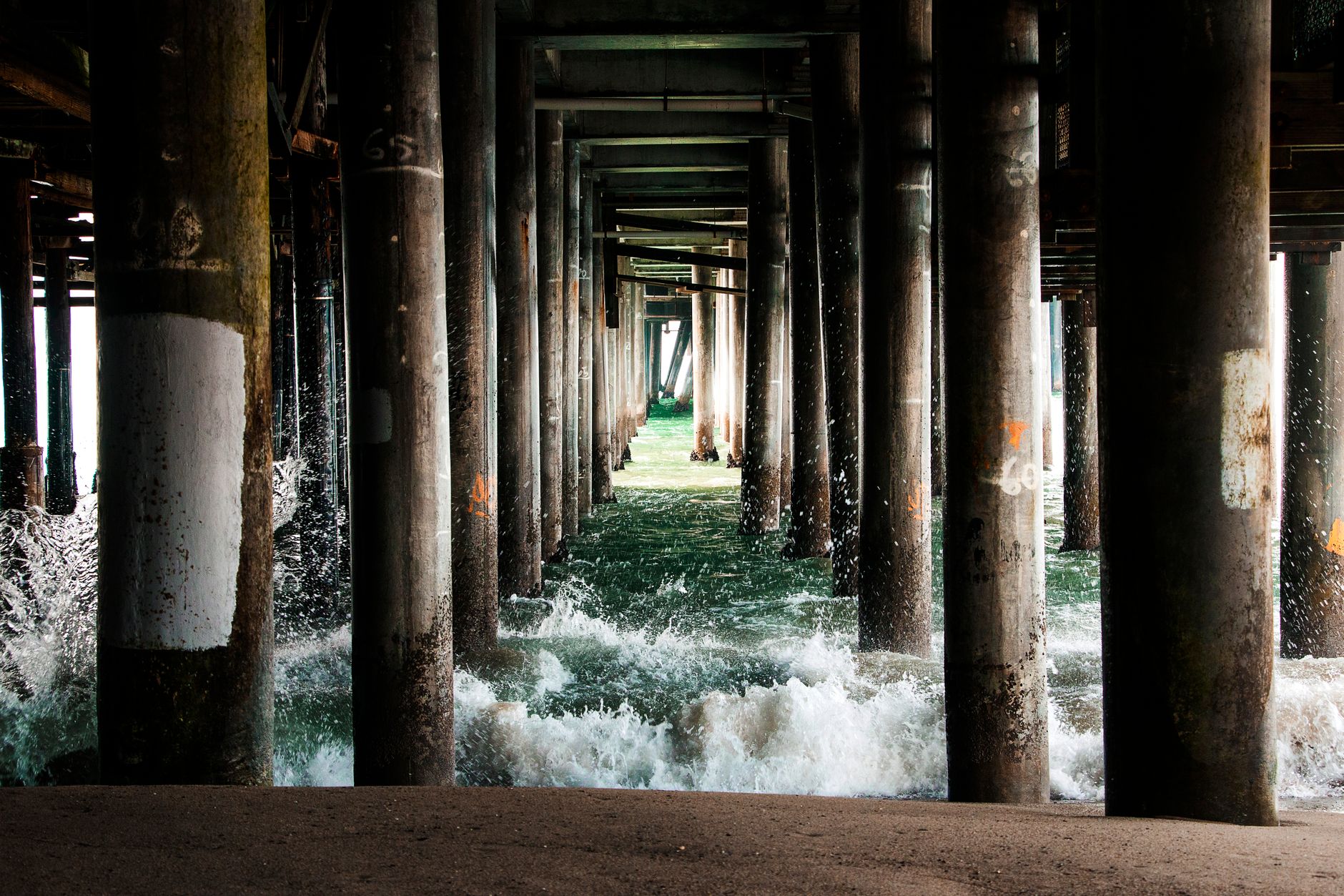
Expect big waves. The NWS warned of breaking waves 6 to 9 feet high with dangerous rip currents and an increased risk of ocean drowning. Large waves can injure beachgoers and wash people off rocks, the agency said.
Burn scar evacuation warnings
The Los Angeles Fire Department issued an evacuation warning for residents near the Palisades, Hurst and Sunset fire burn scars. The warning runs from 6 p.m. Wednesday, Nov. 18, until 8 a.m. Friday, Nov. 20, due to possible debris flows. LAPD officers are visiting high-risk properties to alert homeowners, according to the LAFD.